Overview of Economic Geography of Texas
Changes in the profile of economic activity in Texas have been accompanied by changes in the state's economic geography. For much of the twentieth century, the economic dynamism of the state followed the oil industry.
Author:James PierceReviewer:Camilo WoodMar 12, 20212.3K Shares170.1K Views
Changes in the profile of economic activity in Texas have been accompanied by changes in the state's economic geography. For much of the twentieth century, the economic dynamism of the state followed the oil industry. The gradual diversification of the state's economy propelled (and was in part propelled by) the development of the state's transportation network as well as its cities and suburbs. The image of Texas as a rural state of oil wells, sleepy small towns, ranches, and a couple of big cities (Houston and Dallas) became increasingly outdated. If Texas once epitomized the large frontier state, recent decades have seen Texas fall more into the pattern of California.
Oil still dominates some regions of the state, as this chapter's map Black Gold illustrates. Note that the oil and natural gas industry in Texas also has experienced a geographic shift away from the storied east Texas oil fields - Spindletop, Sour Lake, Batson-Old, Humble, and Goose Creek - to west Texas, with additional smaller concentrations in the northern panhandle and south Texas. This migration reflects the depletion of oil in those east Texas fields and the discovery of even more substantial reserves in the western part of the state.
But while oil exploration migrated generally westward other economic transformations were occurring that added new dimensions to the economic geography of the state. Most notable among these changes has been the rapid growth of the industrial and service sectors of the economy, which in turn have produced rapid urbanization and suburbanization.
Today the Texas Comptroller's office identifies thirteen distinct regions in the state for which it tracks regional economic trends and directions for growth. These thirteen regions are clearly based on physical location, with most regions drawn in relatively compact dimensions (only the South Texas Border region is much longer than it is wide). But, these regions are also drawn according to economic activity and population density. Areas like the High Plains (some would call it the Panhandle) and West Texas are sparsely settled, with the former dedicated primarily to ranching and agriculture, while the latter is the heart of oil country within the state. Despite being sparsely settled, these two regions contain some important regional urban centres, including Amarillo and Lubbock in the High Plains and Midland in West Texas.
The comptroller's regionalization scheme also includes the two major border areas identified here as the South Texas Border (the eastern portion of which is commonly referred to as "the Valley") and the Upper Rio Grande. These areas are also sparsely populated, but nevertheless boast vibrant cities including Brownsville, Laredo, Del Rio, and El Paso. These two regions are also characterized by strong Mexican-American majorities and growing cross-border trade.
East Texas spans a wide territory from the coastal plains (Southeast Texas) to the rolling hills in the northeast corner of the state (Upper East Texas). These two regions were among the first areas settled and also led to the transformation of the state into a major oil producer. But, both the oil economy and the population centres in the state have shifted westward.
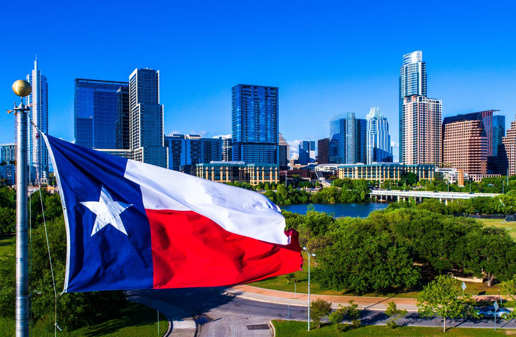
Meanwhile, the Metroplex, Capital, Alamo, and Gulf Coast regions are built around the five major urban centres in the state - Dallas and Ft. Worth-Arlington (combined in the Metroplex region), Austin, San Antonio, and Houston.
These five major cities and their now sprawling suburbs have become the state's economic engines. As the pie chart on metropolitan and regional employment shares in the feature entitled Where the Jobs Are - and Good Wages shows, the five major metropolitan areas accounted for two-thirds (66.7 per cent) of all employment in the state in 2005. Just two huge urban centres, Houston and the combined metroplex of Dallas-Ft. Worth-Arlington accounted for over half (52.7 percent) of all state employees.
Not only do the state's metropolitan areas provide the vast majority of jobs, but they also provide the best wages, as seen in the line chart on metropolitan and regional per capita incomes in this chapter's feature on jobs and wages in Texas.
The highest per capita incomes over the past few decades have been in Houston, Dallas-Ft. Worth and Austin, all of which have regularly exceeded the state's average per capita income. (Of course, the cost of living in these areas is also generally higher than in the rest of the state.) Incomes in Dallas and Houston have even routinely exceeded the national average for incomes, which has generally been higher than our average state income. It is worth noting the sharp upturn and subsequent downturn in average incomes in Austin in the latter half of the 1990s when the technology industry bubbled, then burst.
It used to be that incomes in the Oil Patch in west Texas were even higher than in Dallas and Houston. But after the oil business collapsed in the mid-1980s, incomes for the region never recovered their previous high levels relative to the major metropolitan areas. San Antonio's incomes have been the lowest among the largest urban centres. Meanwhile, incomes in El Paso and the border region have been far below the statewide average.
This overview of the economic geography of Texas provides a general idea of the breadth and variety of economic experience in the Lone Star State. The next section zeros in on some recent economic transformations, illustrating how technology and the increasing integration of Texas with the global economy have spurred major changes in the state.

James Pierce
Author

Camilo Wood
Reviewer
Latest Articles
Popular Articles